Roof

Solar

Terrain

Heights

Volumes

Facades

Photorealistic

Sharing


The method to work more efficiently and accurately.
speed up quotations, work preparation, design & invoicing
Whether you are surveying a roof, placing solar panels, designing a garden, calculating soil volumes, or need an update on your construction yard, AiroCollect is the essential tool that delivers data quickly and accurately.
Measure your projects quickly.
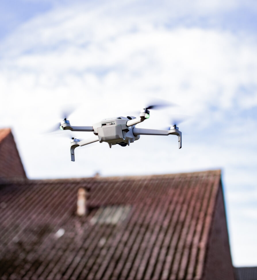
By using a drone in your project preparation, you can measure on average of 10 times faster.
Easily upload your images. The application then creates a digital model of your project, accurate to the centimeter.
Accidents can happen quickly.
Reduce the risk to yourself and your employees. Avoid the unnecessary use of ladders in your project preparation to prevent accidents.
With AiroCollect, you ensure that your colleagues can do their work more safely.
Make your materials management and project preparation more efficient with a digital overview.
Easily calculate with whatever tools you need, from scaffolding and cranes, to how many truckloads of earth you need to move.
Ready to lead your team with visual support?
No more hassle with quotations and invoices.
Our digital workspace turns your measurements into a compelling PDF summary. Simply add them to your documents and complete any discussion with customers effortlessly and instantly.
In times of staff shortages, our software offers the solution: a digital colleague who never takes a break.
AiroCollect integrates seamlessly into your business processes, improves efficiency, and reducing workload. On all your devices, without installation, and always up to date.
Work smarter, not harder. Make our software a integral part of your organization. Welcome to a future where technology and people work together for better results.
On the other hand, once the drone has flown and the photos taken by the drone have been uploaded, we can start to create overviews of surfaces and lengths. For example, you can measure the length of the ridge, the gutters, or the areas of the roof surfaces for pipes.
Dakwerken Boets
On the other hand, once the drone has flown and the photos taken by the drone have been uploaded, we can start to create overviews of surfaces and lengths. For example, you can measure the length of the ridge, the gutters, or the areas of the roof surfaces for pipes.
Dakwerken Boets
Please fill in the information with * below
We will contact you as soon as possible
Please fill in the information with * below
Press demo video to have direct access